
Tukwila Neighbor Lookup Sources
Public systems describe different parts of a Tukwila block. City GIS draws addresses, buildings, streets, neighborhoods, landmarks, voting districts, and city limits. The county viewer shows parcel geometry and sends a selected parcel to the assessor report. Recorded instruments connect named parties to land documents. Voter data is governed by separate Washington access and use rules. None is a city roster of household members.
| Source | What It Shows About a Block | Access |
|---|---|---|
| Tukwila Core GIS | Addresses, streets, buildings, city limit | Query, identify, export; no resident names |
| Tukwila Community GIS | Neighborhoods, voting districts, schools, landmarks | Query, identify, export |
| King County Parcel Viewer | Adjacent parcels and report links | Free address or parcel map browse |
| King County eReal | Parcel and tax facts, owner or taxpayer display | Current online report |
| Recorder index | Parties to instruments for chosen parcels | Name, parcel, or legal-description search |
| Voter records | Public registration fields under state rules | Personal lookup or controlled extract |
| Community organizations | Public civic contacts and events | Official page or direct request; no member list found |
Owner and occupant are not synonyms. A taxpayer mailing address can differ from the parcel address. A corporate owner may represent many sites. A voter entry is a registration record at its own date. Keep those meanings separate when looking for your neighbors.
Use Tukwila Neighborhood Layers
The Tukwila Community MapServer is the official way to apply a neighborhood label instead of guessing from a postal city or subdivision name. Its layers include neighborhoods, voting districts, schools, school districts, and landmarks. Query, identify, and export functions describe civic geography, not people.
The successful manifest image links to that official community map service. It shows the layer source used to place an address within Tukwila's civic geography.
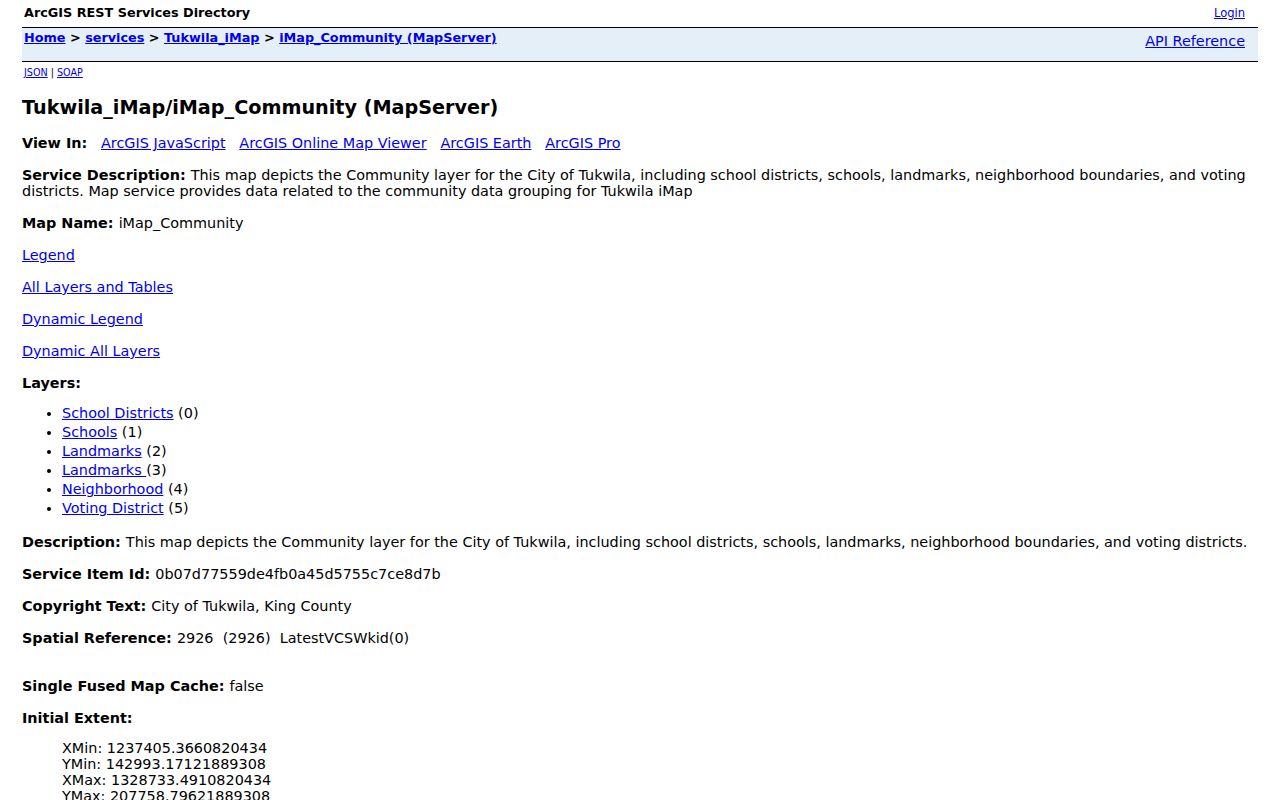
The map preserves Tukwila's own labels: Allentown, Cascade View, Duwamish, Foster, Foster Point, McMicken, Riverton, Thorndyke, Tukwila Hill, Tukwila South, Tukwila Urban Center, and Ryan Hill. These are spatial classes. They are not legal entities, postal cities, historical census districts, or proof that someone belongs to a local group.
Map a Tukwila Block
The inspected city and county tools have no public “all neighbors” button. Build the block view by moving outward from one known address. This keeps the search small and makes each fact traceable to a parcel or map layer.
- Normalize the street address with USPS, but retain the original form. A postal city can differ from the municipal jurisdiction.
- Find the address in King County Parcel Viewer. Zoom until the subject parcel and the parcels beside and across from it are clear.
- Click each nearby parcel and open its eReal link. Record the parcel number, situs address, owner or taxpayer label, and report date.
- Open Tukwila Core and Community layers to confirm the city line, buildings, neighborhood, voting district, schools, and landmarks.
- Use the Recorder only if a deed or easement question matters. Search the selected parcel or legal description and retain the instrument date.
The result is a parcel-centered block ledger. It is not a household list. For a full named-street chain, use the Tukwila street directory, which follows addresses beyond the immediate radius.
Tukwila Maps Keep Boundaries Separate
The Tukwila City Maps page gathers iMap, GIS Open Data, the Development Viewer, the capital-project dashboard, historic-preservation tools, and the Annexation History Map. These sources explain why one nearby parcel may have a different city, postal, permit, or historical filing path.
The manifest capture shows the city map hub rather than a live resident result.
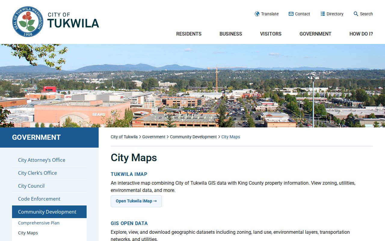
Use that hub to test jurisdiction before comparing adjacent parcels. A mapped facility label or street does not associate a person with the site. It points to the office and geographic layer that should be checked next.
Note: The city-limit, postal ZIP, assessor situs, and voter residence layers answer different questions and should not be merged into one claim.
Tukwila Community Contacts
No official umbrella directory of neighborhood associations or homeowner groups, and no public member roster, was located during the research. Do not infer membership from a street address. Use a public organization page or contact form only when that organization confirms its current name and access rules.
| Community Lead | Safe Use | Access Route |
|---|---|---|
| Named neighborhood layer | Confirm the city's mapped neighborhood label | Tukwila Community MapServer |
| School or landmark layer | Orient a block with a public place | Community GIS query or identify |
| Tukwila Library | Ask about local history, newspapers, and referrals | Official KCLS branch contact |
| Tukwila Historical Society | Ask about public photos and civic history | City history source; confirm current appointment path |
| City Clerk | Request existing meeting, planning, or annexation files | City public-records request route |
The absence of a public association list is a real finding. Ask for a specific existing newsletter, meeting packet, ordinance, or planning record. Do not ask the city to compile names of everyone who lives in a neighborhood.
Tukwila Districts Are Not Neighbors
Voting districts and neighborhoods overlap imperfectly. A precinct can cross what residents think of as one community, while a named neighborhood can contain more than one voting area. The Community MapServer lets both layers be checked without turning either into a resident identity tool.
King County My Voter Information is a personal service that matches any three of exact first name, exact last name, birth date, and house number. VoteWA also uses exact personal details. The formal Washington voter-file extract requires requester information, a county and file selection, and acceptance of political-use and anti-commercial-use limits. It is not a casual block search.
Public voter fields can include name, registration address, separate mailing address, year of birth, status, registration date, precinct, district, and participation fields. Washington does not register by party preference. Protected and Address Confidentiality Program records override normal display, so voter data must never be joined to parcel data to expose a protected address.
Tukwila Neighbors Across City Lines
Tukwila incorporated in 1908, and later annexations changed which city might hold planning or permit files. Ryan Hill's 1989 annexation created a documented boundary and service-coordination issue. Foster also has its own community and library history. A present address near Seattle, Renton, SeaTac, Southcenter, or the Duwamish corridor may need a historical jurisdiction check.
Map the city line before comparing nearby parcels. Then preserve both the old and current location labels in the research notes. An annexation polygon is a clue to custody, not proof of occupancy. The ordinance, parcel record, permit, deed, or dated directory remains the evidence.
Postal boundaries add another mismatch. Codes around Tukwila overlap Seattle, SeaTac, Renton, and Kent postal areas. USPS confirms delivery format, not whether two people are civic neighbors. Adjacent postal cities are not the same as adjacent households.
Official Tukwila Neighbor Records
Official rolls and commercial neighbor tools serve different purposes. The official source names the custodian, date, field meaning, correction path, and legal limit. A commercial category may combine old public fragments, marketing data, or inferred matches without showing why two facts were joined. It can be convenient, but it should not replace the parcel map, assessor, Recorder, Elections, or city GIS.
| Point | Official Block Sources | Commercial Category |
|---|---|---|
| Provenance | Named agency and record series | Sources may be blended or unclear |
| Date | Report or instrument date can be recorded | Refresh date may not match each item |
| Meaning | Owner, taxpayer, registrant, or deed party is labeled | Roles may be inferred or flattened |
| Correction | Custodian has a defined request path | Removal and correction methods vary |
| Block geography | Parcel and city layers can be inspected | Radius or neighborhood logic may be undisclosed |
For a bad parcel value or situs field, contact the Assessor. For a deed index, contact the Recorder. Send city GIS or permit questions to Tukwila. Voter corrections belong with Elections. Correct the source record rather than repeating a doubtful match.
Request Tukwila Neighbor Records
The Washington Public Records Act applies to existing agency records. It does not require Tukwila to create a roster of everyone on a block. A request for a named permit, inspection, annexation ordinance, planning file, meeting packet, map layer, or code notice asks for a record the city may already hold.
Use the Tukwila City Clerk request route for general city files, or send permit and land-use requests to Community Development. Available city channels include online forms, email, fax, mail, phone, virtual appointment, and in-person service, with department-specific paths for police, court, fire, and development records. Describe the address, parcel, date range, record series, department, and preferred form.
RCW 42.56.520 calls for an initial agency response within five business days: provide a record or link, acknowledge and estimate time, seek clarification, or deny with specific reasons. Ask for segregable nonexempt parts if a file contains protected facts. The agency need not create a new list or infer who resides at each parcel.
Protect Your Tukwila Neighbors
The Washington Address Confidentiality Program gives eligible people a substitute address and forwarding service. Protected voter records can also suppress normal geographic detail. A substitute address is a safety measure, not a clue to be defeated by joining public sources. Old records may remain, but they should not be used to reconstruct a protected person's current location.
Do not publish full birth dates, private phone numbers, private emails, unit numbers, minor identities, victim or witness details, or protected addresses. Assessor ownership does not identify all occupants. City GIS has no resident-name layer. A blank record can reflect redaction, jurisdiction, date limits, or a protected status rather than an error.
Lawful use. Look up Tukwila neighbors only for lawful civic, historical, and personal purposes. Never use block records to watch, harass, intimidate, or expose anyone.