
Walk a Tukwila Street by Address
A sound street search moves from the physical address to the parcel, then to records attached to that parcel. This order prevents a street spelling, postal label, or city-boundary mismatch from sending the search to the wrong office. Tukwila and King County each hold a different part of the record. The city maps buildings and municipal files, while the county maintains the tax parcel and recorded instruments.
- Normalize the delivery address with the official USPS lookup, but save the address exactly as it appeared in the original source.
- Enter the address in King County Parcel Viewer, select the parcel, and note its number and mapped limits.
- Open the linked eReal report to inspect the taxpayer or owner display, legal description, sale history, values, and property facts.
- Use the parcel number or legal description in the King County Recorder index, then follow each relevant recorded instrument.
- Check Tukwila permit, land-use, and historical files by address, and use directories or census records only when the question concerns an earlier household.
This Tukwila street directory sequence identifies what each source actually proves. A tax owner is not automatically an occupant. A deed names parties to an instrument. A directory prints an address association for its publication year. Agreement among independent records is stronger than any single hit.
Tukwila Street Lookup Starts with Parcels
The King County eReal Property search accepts a parcel or property account number, an address, or a property name. Its acknowledgement cites RCW 42.56.070(9), including limits on lists of individuals used for commercial purposes. The county also warns that the display may not be complete, accurate, or timely. Treat the report as a dated government record, not live proof that someone is present.
| eReal control | Input | Useful result evidence |
|---|---|---|
| Parcel/account search | County tax account or parcel key | Parcel, situs, legal description, values, sales, and characteristics |
| Address search | Street address | Matching taxable parcel or parcels |
| Property-name search | Recorded property name | Named property match where available |
| Acknowledgement | Acceptance of displayed terms | Access to current reports |
The report may show an owner or taxpayer name and a mailing address, but the mailing address can differ from the situs address. “Situs” means the physical location assigned to the parcel. An entity or trust may own the land. A sale can also reach the assessor display after the deed was recorded.
The successful manifest capture comes from the official eReal landing page.
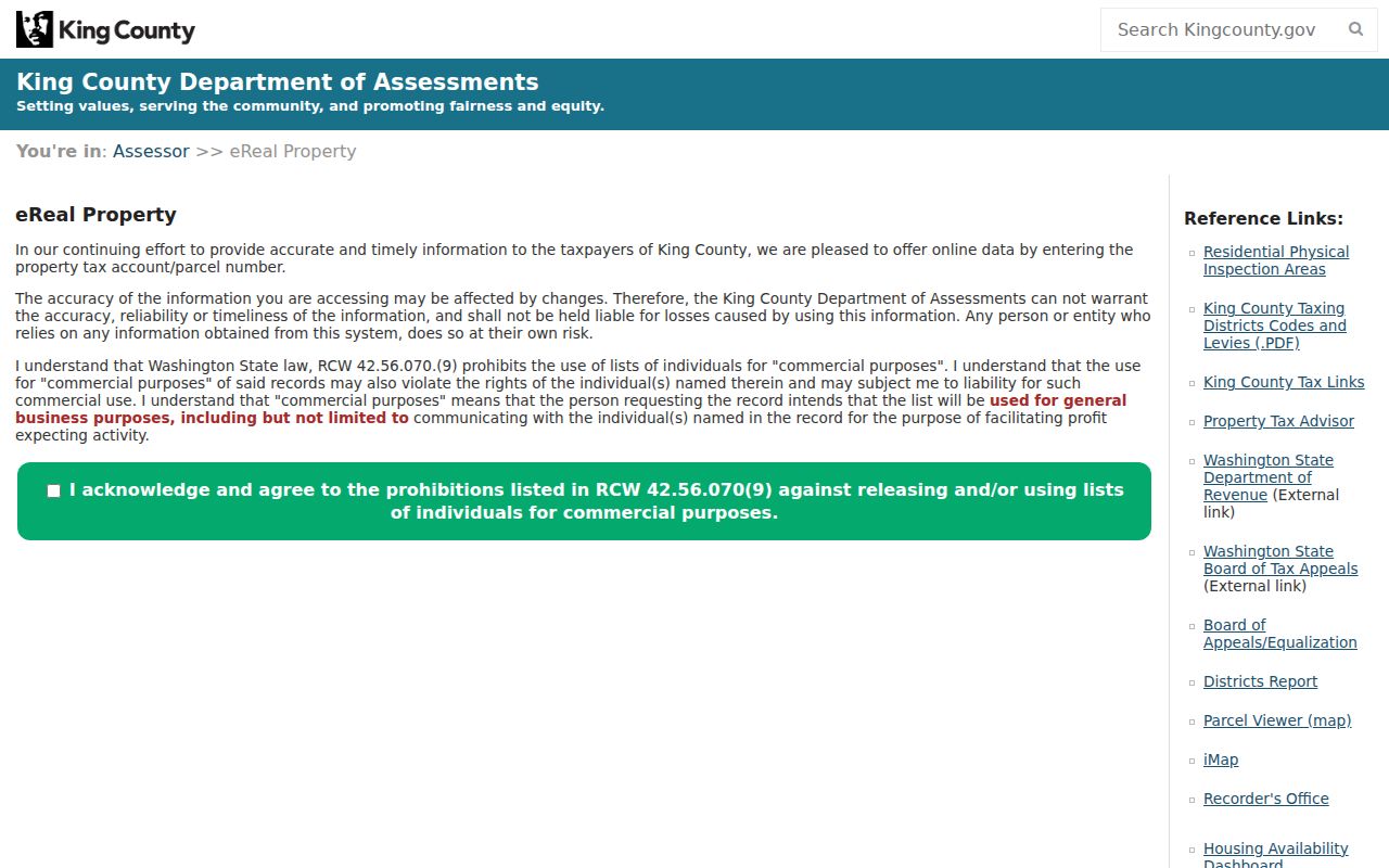
The empty search screen shows the proper controls without publishing a resident's parcel result.
Map Tukwila Streets in Two Systems
Parcel Viewer supplies county parcel geometry and links to eReal and the Districts and Development Conditions Report. Tukwila's City Maps page adds iMap, GIS Open Data, the Development Viewer, a capital-project dashboard, the Historic Preservation Viewer, and an Annexation History Map. These tools answer separate questions.
The Tukwila Core MapServer includes Address, Street, Buildings, and City Limits layers, with query, identify, and export operations. The Community MapServer adds neighborhoods, voting districts, landmarks, schools, and school districts. Neither city service was found to contain an owner-name or resident-name layer. Click the county parcel for ownership data rather than reading identity into a city map label.
- Parcel
- A mapped unit of land tied to a county tax account.
- Situs address
- The physical address of the taxable property, which may differ from the owner's mailing address.
- Plat
- A recorded land-division map that identifies lots, blocks, boundaries, and dedications.
- Criss-cross directory
- A printed directory organized by street address, used to find a name associated with an address in one year.
Note: A street line, postal city, voting district, neighborhood, and Tukwila city limit can overlap without describing the same boundary.
Address Records in Tukwila's Street Directory
No single office keeps a complete list of everyone on a Tukwila street. The useful records are divided by purpose and custodian. Start with the record that matches the question, then carry the parcel or legal description to the next system.
| Address source | Official keeper | What it can show | Access route |
|---|---|---|---|
| Tax parcel and property card | King County Assessor and Archives | Parcel, values, sales, building facts, owner or taxpayer display | eReal; historic cards and rolls at Archives |
| Deed and recording index | King County Recorder and Archives | Parties, instrument, date, number, legal description, image status | Landmark mostly since August 1, 1991; earlier microfilm |
| Permit and land use | Tukwila Community Development | Address, project, permit status, inspections, selected contacts | Development Viewer, Digital Records Center, request |
| GIS | Tukwila and King County GIS | Parcel, street, building, city line, district, neighborhood | Online map, query, identify, export |
| Voter information | King County Elections and Washington SOS | Registration and district fields allowed by law | Personal lookup or controlled extract |
A parcel number links property sources with more precision than a street name. Permit files remain municipal records, while a tax card remains a county record. That division matters when making a request.
Follow Deeds Along a Tukwila Street
The King County Recorder search supports name, document type, book and page, consideration, parcel ID, recording date, recording number, legal description, and Torrens number. A name search uses last name, then first name. For parcel searches, enter the first ten digits and choose “Starts With.” That parcel route covers 1997 forward, so legal-description and party searches remain important.
Results can identify grantor, grantee, instrument type, recording date and number, indexed consideration, parcel or legal description, book and page when present, and image status. Results appear one page at a time, and sorting or filters must be reapplied after changing pages. Search spelling variants and more than one key when a hit is missing.
The official Recorder page appears in the successful project capture.
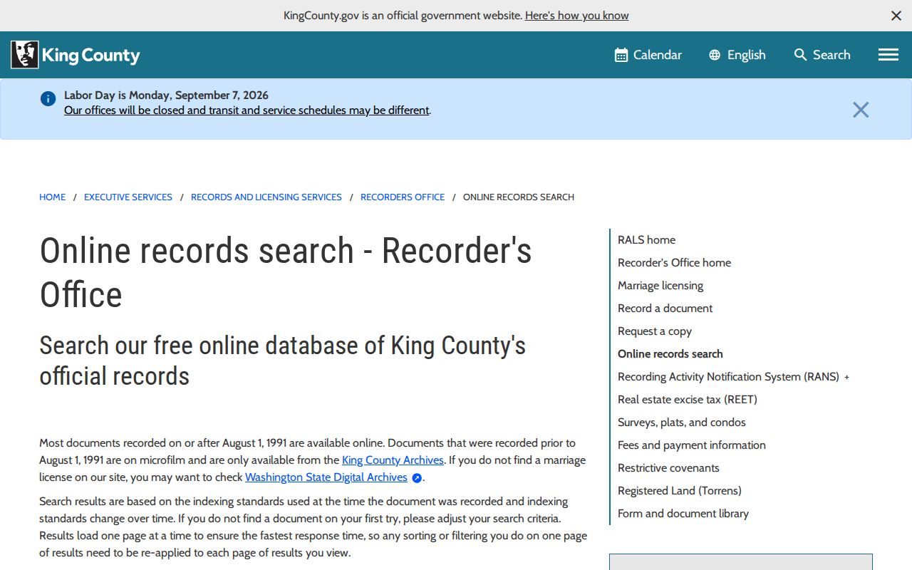
Its search modes make the parcel and legal description the bridge between a mapped address and recorded documents.
Tukwila Deeds Cross a 1991 Divide
The street directory changes method at August 1, 1991. Most recordings on or after that date are available through the Recorder's online system. Earlier documents are generally held on microfilm by King County Archives, where the General Recordings Index is available in the research room.
Older entries are often indexed by party and date rather than a modern parcel field. Bring the legal description, a party name, the year or a five-year span, and the recording number if known. “Auditor” can appear in records before King County's 1969 to 1970 home-rule change. It is older office terminology, not a different modern destination.
Archives is at 1215 E Fir Street in Seattle. Customer and email service runs weekdays, 9 a.m. to 4 p.m.; walk-in microfilm hours are Tuesday and Wednesday, 10 a.m. to 3 p.m. Other research-room work is by appointment. Call 206-263-2480 or email archives@kingcounty.gov.
Note: Search access and copy status differ; an online image may be unofficial, while certification is a separate product.
Tukwila Street Permits Stay with City
Use Tukwila Property Research for city files. The Development Viewer covers active and recent permits and land-use decisions. The Digital Records Center offers an added route for older permits, approvals, ordinances, and public files, though its exact live search fields were not confirmed. The Historic Preservation Viewer and annexation map supply context.
If the file is absent online, contact Community Development at 6300 Southcenter Boulevard, Suite 100, Tukwila, WA 98188; DCDRecordsRequest@TukwilaWA.gov; 206-431-3670; or fax 206-431-3665. The City Clerk's records request route is the fallback. Name the address or parcel, record series, date span, department, and format.
Tukwila posted a permit-fraud alert on May 14, 2026. It warned of false fee emails, wire instructions, and outside senders. Validate payment through the official permit portal or city contacts. A permit report may show address, period, fee or value data, and selected contacts, but it is not an occupancy list.
Why Tukwila Street Labels Shift
Tukwila incorporated in 1908, yet present parcels sit within older community and annexation stories. Official labels include Allentown, Cascade View, Duwamish, Foster, Foster Point, McMicken, Riverton, Thorndyke, Tukwila Hill, Tukwila South, Tukwila Urban Center, and Ryan Hill. A neighborhood name is useful search text, but it is not a legal jurisdiction.
Ryan Hill's 1989 annexation created a documented boundary and service issue along 51st Avenue South. Foster also entered Tukwila in 1989. For an older record, compare the source-year address with the Annexation History Map, legal description, and jurisdiction then responsible. Search county, Seattle, Foster, or another historic label when evidence supports it.
No official, complete Tukwila street-renumbering chronology was found. Preserve both address strings, verify the parcel and plat, then ask for a specific annexation ordinance, planning file, or street-name record.
Voter Data Is Not a Street Roster
King County My Voter Information requires any three exact matches from first name, last name, date of birth, and house number. It can return registration information, contests, and ballot tracking. Registration data updates daily around midnight and ballot status hourly from 8 a.m. to 8 p.m. It is a personalized tool, not a browse-by-street directory.
The formal Washington voter extract is updated monthly and requires requester details, file and county selection, and a legal acknowledgement. Public fields may include name, address, year of birth, voting history, and precinct or district. Full birth dates, driver-license data, last four Social Security digits, and protected fields are not open. Washington does not register voters by party.
A King County-only extract is the proportionate scope for Tukwila civic research. It has political-use and anti-solicitation rules and must not be joined to other sources to expose a protected address. Contact Elections at 919 SW Grady Way in Renton, elections@kingcounty.gov, or 206-296-8683.
Reverse Search Older Tukwila Streets
When the question moves from a current parcel to past occupants, reverse directories can associate an address with a printed name. Seattle City Clerk and Seattle Public Library Central hold Polk reverse directories from 1939. Regional volumes may omit Tukwila or use a different postal label, so a hit needs support from a deed, property card, permit, census, or newspaper.
Seattle City Archives links digitized directories for 1867 through 1928 and provides a research-room run for 1890 through 1990. They are regional, not guaranteed Tukwila-only coverage. Their reading methods belong in the Tukwila city directory collections; here, search the address exactly as printed in the year tested.
King County Archives property cards cover 1937 through 1972 and can include building use, rooms, construction, improvements, values, photographs or sketches, and sales references. They document a building and taxpayer history, not all people who lived there.
Limits of a Tukwila Street Directory
Public street records do not expose a complete household. Utility customers and private delivery details are not indexed in the documented tools. Motor-vehicle personal addresses are restricted. A corporate owner, remote mailing address, or historical deed must not be treated as proof of present occupancy. Protected voter and Address Confidentiality Program records may be blank, substituted, or withheld by design.
Lawful use. Use Tukwila address records for legitimate personal, property, family-history, and civic research. Never use them to stalk, harass, threaten, or defeat an official safety program.
Washington's Address Confidentiality Program supplies substitute addresses and mail forwarding for qualifying participants. A protected result is not an error to solve. Assessor corrections need the parcel and support. Index or image issues need the recording number. City permit and code corrections belong with Community Development or the Clerk.
A street directory is strongest when it states these limits. Record the source URL, search date, parcel or result key, shown fields, coverage, redactions, image status, and correction contact. That evidence ledger keeps a dated record from becoming an unsupported claim about a person.