
Tukwila Previous Resident Sources by Era
The best source depends on when the household occupied the address. King County's modern online index reaches much farther than a current tax card, but the trail changes at the Recorder and Archives cutoff. Printed regional directories may contain a Tukwila or Foster address, while a federal census can show the whole household only through the latest public release.
| Source | Years it covers | Where held | What it shows |
|---|---|---|---|
| Recorded-document index | Mostly August 1, 1991 to present online; earlier on microfilm | King County Recorder and Archives | Parties, instrument, recording data, parcel or legal description |
| Property record cards | 1937 to 1972 | King County Archives | Taxpayer, building use, rooms, construction, values, photo or sketch when present |
| Assessment rolls | 1862 to 1941, incomplete | King County Archives | Periodic taxpayer, parcel, and value evidence |
| Regional city directories | 1867 to 1928 digitized; 1890 to 1990 research-room run | Seattle City Archives | Printed name, address, and household or work clues where Tukwila is included |
| Federal census | 1790 to 1950 public | National Archives | Household members and varying personal or address fields |
Start with the latest source before the target year, then move backward. Do not force a continuous story across a documented gap. Tukwila previous residents require corroboration because owners, taxpayers, directory entries, and census occupants are not interchangeable.
Walk Tukwila's Deed Chain Backward
Begin in King County eReal with the address or parcel. Copy the current parcel number and legal description. Then open the Recorder search. Its controls include party name, document type, parcel ID, recording date and number, book and page, consideration, legal description, and Torrens number.
- Identify the current owner display, legal description, sale history, and parcel number in the assessor report.
- Find the present owner's acquisition deed and record its grantor, grantee, date, number, and legal description.
- Search the seller as a grantee to locate that party's earlier acquisition, checking spelling and initials.
- Repeat the chain while the legal description still matches, noting parcel splits, combinations, or plat changes.
- For documents before August 1, 1991, move to the Archives General Recordings Index and microfilm.
- Grantor
- The party giving or transferring an interest in a recorded instrument.
- Grantee
- The party receiving that interest.
- Chain of title
- The linked sequence of transfers affecting the same land.
- Legal description
- The formal parcel description based on a plat, lot, block, or survey, often more stable than a street address.
One deed can include a spouse, trustee, lender, easement holder, or other party who never lived at the site. Mark the party's role before adding the name to a house-history timeline.
Tukwila House Records Change in 1991
August 1, 1991 is the practical access divide. Most later recorded documents can be searched online. Earlier recordings are generally on microfilm at King County Archives. The older General Recordings Index often relies on party names and dates, so bring the legal description, a known name, recording number if available, and a year or five-year window.
The office name also shifts over time. Older King County instruments may be called Auditor records. The home-rule transition abolished that office in 1969, and “Recorder” has been used since 1970. The vocabulary changes, but present access still runs through the Recorder and Archives.
Online searching is free. Copies and certification are separate. Archives reports no duplication fee for uncertified pre-August 1991 recorded documents unavailable online, while certified fees still apply. The research room at 1215 E Fir Street in Seattle offers walk-in microfilm Tuesday and Wednesday, 10 a.m. to 3 p.m.; other material is by appointment. Customer and email hours run weekdays, 9 a.m. to 4 p.m. Call 206-263-2480 or email archives@kingcounty.gov.
Note: Preserve the image status in the evidence log because an online unofficial image is not the same as a certified record.
Property Cards Reveal Tukwila Buildings
King County Archives offers more than deeds. Historical land holdings include assessment rolls from 1862 through 1941, an index from 1891 through 1974, property record cards from 1937 through 1972, sales histories from 1973 through 1981, and excise-tax indexes from 1961 through 1997. Short plats and recorded land materials can clarify how a modern parcel relates to an older one.
A property card may list the parcel or legal key, assessment year, owner or taxpayer, building use, room count, construction details, improvements, valuation, a photograph or sketch, a sales reference, and a deed or plat cross-reference. It can date a structure and show how county staff described it. It still does not identify every occupant.
Assessment-roll coverage is uneven. Records from 1862 to 1899 are incomplete, one 1891 volume survives, and later rolls generally occur every fifth year through 1941. A missing name between surviving rolls is a gap, not proof that the person left.
No successful Archives screenshot was available in the manifest. That honest limit avoids pairing the page with an unrelated image or suggesting that a specific Tukwila card was inspected.
Reverse Directories Find Past Tukwila Residents
A reverse directory turns the usual search around: address first, printed name second. Seattle City Clerk and Seattle Public Library Central hold Polk reverse directories from 1939. These regional volumes may omit Tukwila or file a street under another postal label. Confirm any hit with a deed, property card, permit, census page, newspaper, or other record from the same period.
Seattle City Archives lists a 1890 to 1990 research-room directory run and links digitized volumes for 1867 through 1928. Seattle Directory Company issues appear in 1888 to 1889 and 1890 to 1906; R.L. Polk issues begin in 1907 and continue into the 1990s. Exact annual coverage and suburb inclusion vary. The Tukwila city directory page covers those collections as collections; previous-resident research uses each volume only as dated household evidence.
The successful manifest image comes from the Seattle City Archives additional history resources.
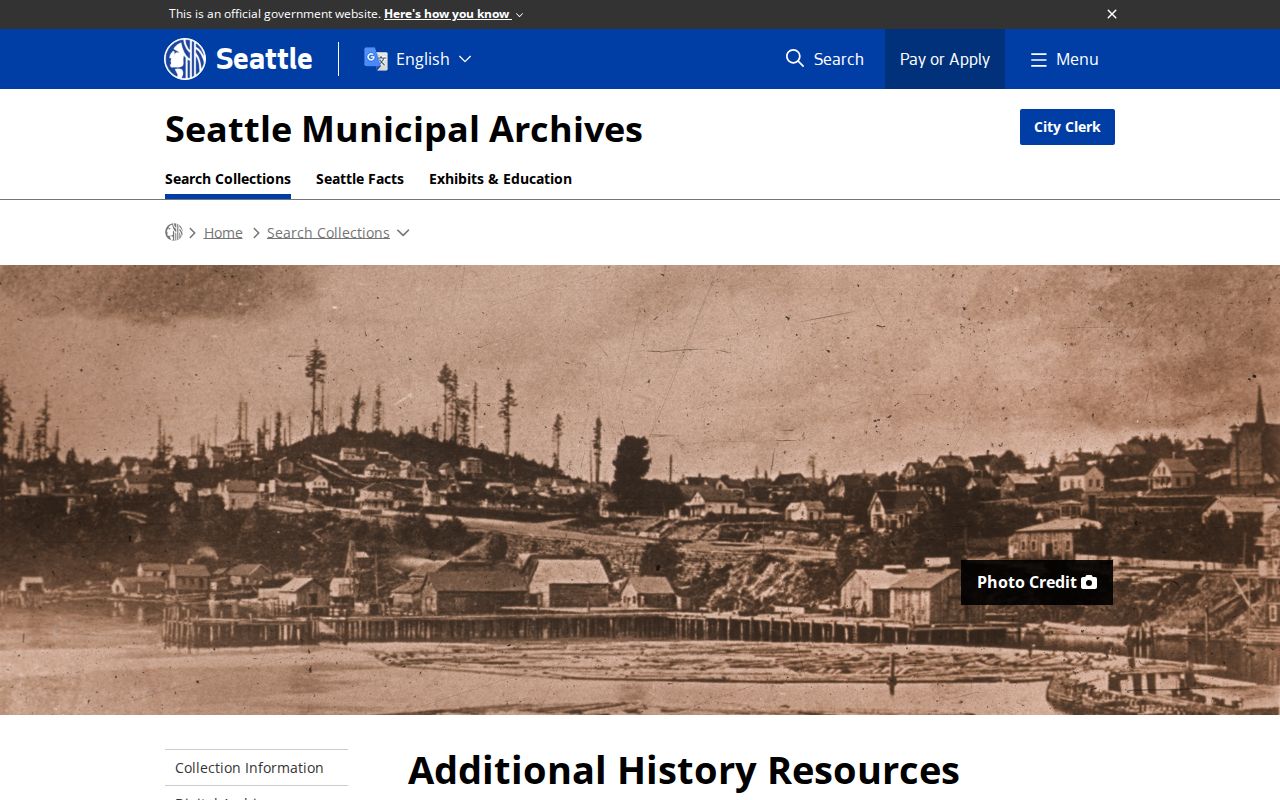
The resource page is a gateway to regional directory material, not proof that every Tukwila street appears in every volume.
Pair Tukwila Directories with Census Years
Directory entries fill gaps between federal censuses, while a census can reveal relationships within a household. The National Archives 1950 Census is the latest public decennial census. It was released on April 1, 2022, and later censuses remain confidential under the 72-year rule. NARA provides images from 1790 through 1950.
Use a simple two-way process:
- Find the address and printed name in a directory close to a public census year.
- Search the census by that name, county, historic place label, and likely enumeration district.
- Compare address, household names, ages, birthplace, occupation, and other fields actually present in that census year.
- Return to the next directory year to see whether the same name and address continue.
- Test changes against deeds, permits, obituaries, and the next available census rather than guessing.
The 1890 census was largely destroyed in a 1921 Commerce Department fire, with only fragments surviving. Census enumeration geography also may not match current Tukwila limits. Search King County, Tukwila, Foster, and a supported older community label. Keep the census place name as printed.
Sanborn Maps Need Tukwila Proof
Fire-insurance maps can show building footprints, construction materials, use, street alignment, and changes in the built landscape. They do not name all residents. The Library of Congress Sanborn guide explains searches by state, city, edition, date, sheet, notes, and available digital files.
The successful manifest capture shows that official search guidance.
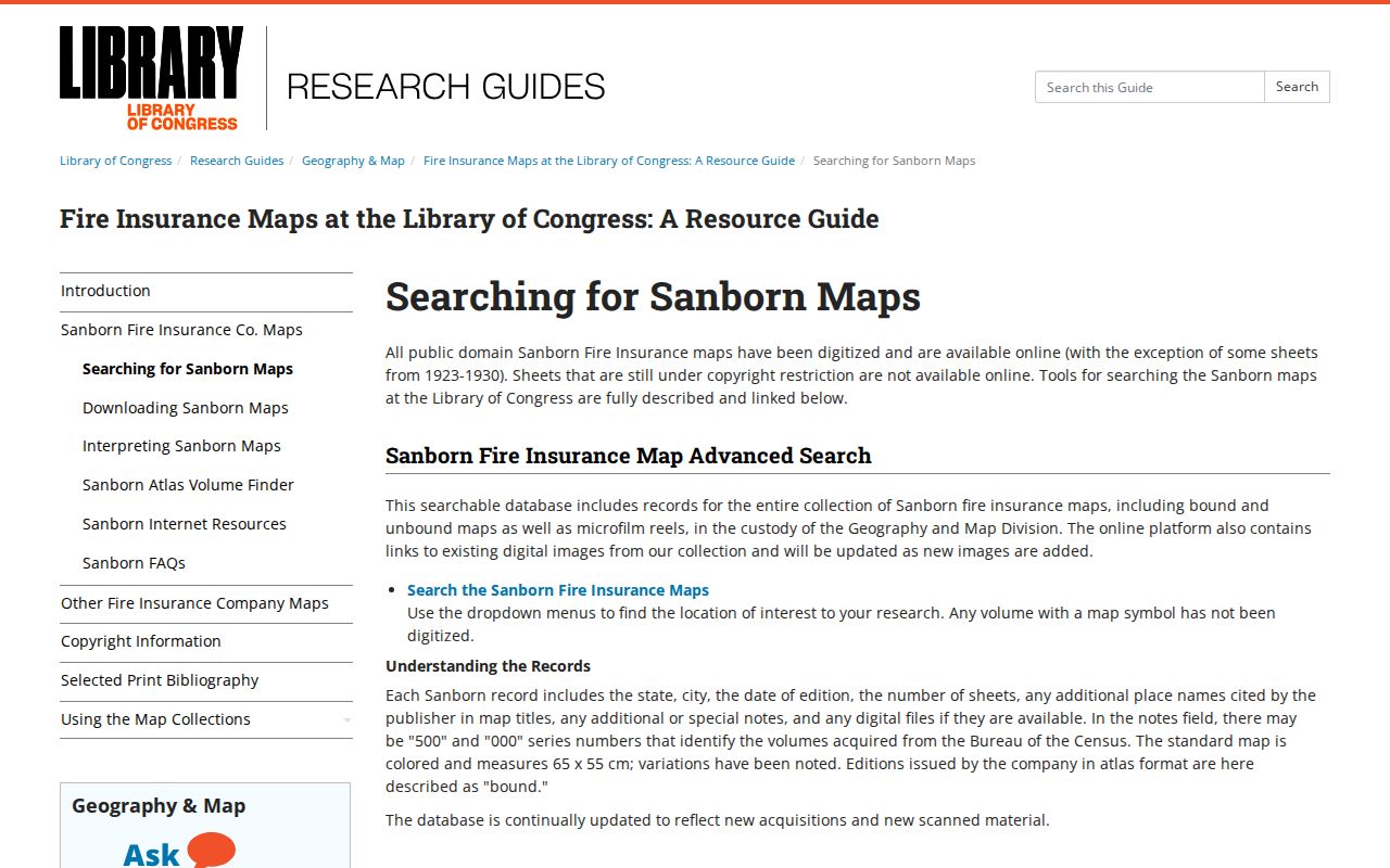
Use these controls to prove coverage before connecting a sheet to a Tukwila address.
The Library of Congress Seattle 1917 item contains 105 images for Seattle and King County, but no separate official Tukwila volume or confirmed Tukwila sheet was located. Do not claim Sanborn coverage for a house until the sheet is inspected. Where coverage exists, compare its streets and structures with the plat, legal description, annexation map, property card, and permit trail.
Tukwila Annexations Alter Address Trails
Tukwila incorporated in 1908. Its current boundaries include older communities and later annexation areas, so the city's Annexation History Map belongs beside every long house timeline. Ryan Hill's 1989 annexation produced a documented boundary and service-coordination issue along 51st Avenue South. Foster's 1989 annexation also changes which place name may appear in older material.
For Allentown, Cascade View, Duwamish, Foster, Foster Point, McMicken, Riverton, Thorndyke, Tukwila Hill, Tukwila South, Tukwila Urban Center, or Ryan Hill, record the source's neighborhood label separately from its municipality and postal city. A current neighborhood layer is not a historic census designation.
No full Tukwila street-renumbering chronology was found. When an old address fails, rely on the parcel and legal description. Search the adjacent or former jurisdiction only when a map, plat, annexation record, or source-year label supports that choice.
Note: An annexation date helps locate the likely custodian, but the ordinance, plat, deed, or permit remains the evidence.
Permits Date Changes at Tukwila Homes
The Tukwila Property Research page routes current work to iMap and the Development Viewer, then sends older permit and approval research to the Digital Records Center or a focused request. Permit records can connect an address to a project, application, inspection, final action, selected contact, and date. A named applicant or owner on a permit is not automatic proof of residence.
Community Development accepts records questions at DCDRecordsRequest@TukwilaWA.gov, 206-431-3670, fax 206-431-3665, and 6300 Southcenter Boulevard, Suite 100. For records not online, ask for existing permit applications, inspection reports, final approvals, land-use decisions, or related nonexempt correspondence within a stated date range. The Washington Public Records Act does not require the city to create a list of everyone who lived at the address.
Join the permit to the property card and deed by parcel, legal description, address, and date. A remodel can explain a changed footprint on a map or sketch. It cannot by itself fill the household roster.
Obituaries Can Close Tukwila Household Gaps
Obituaries, newspapers, cemetery records, and probate files can help explain why a person disappears from an address trail. No complete official Tukwila obituary index or exact local newspaper run was found. Ask the Tukwila Library at 14380 Tukwila International Boulevard, 206-242-1640, to search its catalog and licensed resources by Tukwila, Foster, Southcenter, neighborhood, street, and former institution name.
Probate is a King County Superior Court record, not an assessor or recorder record. Use the court clerk for the case and Archives for older indexes. A probate index can locate a file; it does not prove that the decedent occupied every property in the estate. Match the case date, legal description, family names, directory year, and deed transfer before drawing a conclusion.
Historical vital indexes may provide family links, but current certificates have separate state access rules. For house history, transcribe only what is needed to distinguish the record. Do not reproduce a living person's full birth date, private contact details, or protected address.
Owners Are Not All Previous Residents
Past residents and past owners overlap only sometimes. A nonoccupant owner, lender, trustee, estate, company, spouse releasing an interest, or remote taxpayer can appear in property records without living at the address. Renters and family members may appear in a directory or census without holding title. State the role, source, and date beside each name.
Lawful use. Research Tukwila previous residents for house history, genealogy, estate work, and personal curiosity. Never use a historic trail to harass, track, or expose a living person.
Address Confidentiality Program substitute addresses and protected voter records must not be reversed by joining them to parcel or court data. For record corrections, contact the custodian: Assessor for parcel facts, Recorder or Archives for an indexed document, Tukwila Community Development for permits, and the court clerk for a case.
A defensible timeline logs the exact source, URL, date searched, coverage, name as printed, address string, parcel or legal key, role, image status, and confidence. Mark missing years and uncertain jurisdiction labels. That method answers who lived here before without turning a gap into a claim.